


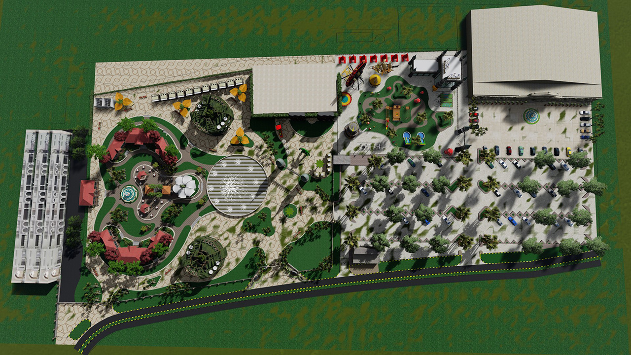
Aerial View & Site Plans Visualization
For Dubai’s real estate and urban planning projects, Androon Designs provides 3D site designs and drone-mapped aerial renders that emphasize scale and context.
SERVICE STEPS
I use precise design to highlight design purpose and development potential.
✔ Data Integration: Utilizing satellite data, drone footage, or CAD drawings.
✔ 3D Modeling & Rendering: Using SketchUp and Lumion to create precise terrain models.
✔ Post-Processing: Using Photoshop annotations to improve images.
Categorized into Master Plans, Residential Communities, and Mixed-Use Developments, my images promote educated decision-making.